Bexar County Construction Staking
Looking for construction staking near Bexar County?
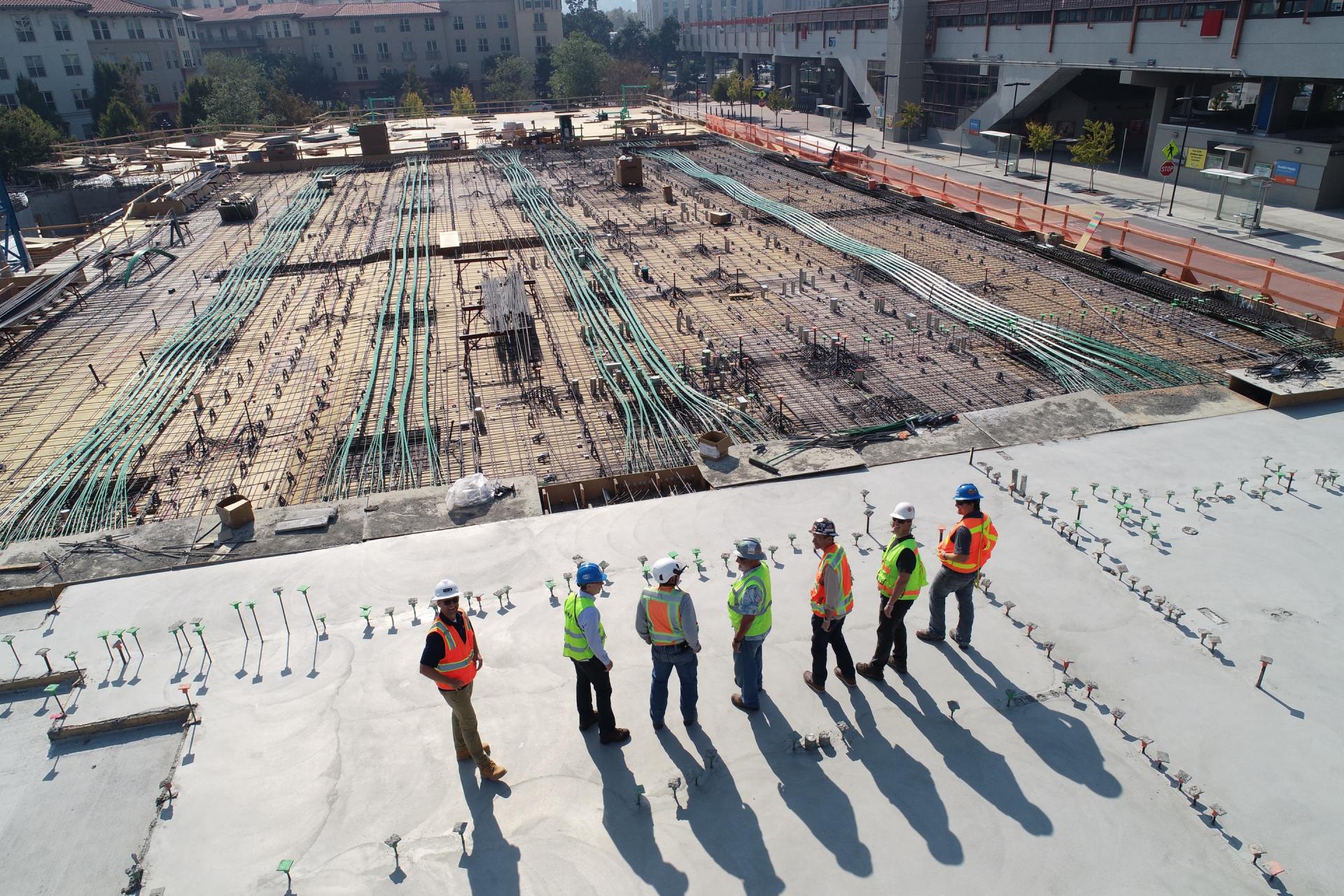
Construction Staking (or a Site Layout Survey), is the process of laying out reference points to guide the construction of projects such as roads, utilities, bridges and buildings. Construction staking is performed to ensure plans are mapped on the ground with precision to provide the level of accuracy required. The staking information is always reviewed by a professional land surveyor.
At Total Geo Data in San Antonio, our land surveyors help by making sure your construction projects are exactly where they need to be the first time.
Get a free quote
Contact Us
Bexar County Construction Staking
San Antonio & Surrounding Areas
Are you planning a construction project in Bexar County (San Antonio and surrounding areas)? Make sure your project stays on track and on budget with our construction staking services. Here's the process for getting your project staked in Bexar County:
- Contact us and explain your needs: Before anything else, you will need to contact us and explain what you need. Be sure to provide as much information as possible about your project and the purpose of the staking. We will also need signed and sealed construction plans.
- Schedule an appointment: We will likely need to visit your property in Bexar County in order to assess the scope of work and provide you with a quote. Be sure to schedule an appointment that works for you.
- Review and sign the paperwork: Once you have received a quote from us, you will need to review and sign an agreement outlining the scope of work, the cost of the staking, and any other terms and conditions.
- Pay a deposit: Most land surveying companies will require a deposit before beginning work. This is typically a percentage of the total cost of the staking.
- The staking is conducted: We will visit your property in Bexar County and conduct the staking using specialized equipment such as total stations, GPS receivers, and lasers. This process can take several days or even weeks, depending on the size and complexity of your project.
- Pay the balance: Once you are satisfied with the staking, you will need to pay the balance of the cost as outlined in the contract.
- Use the staking: You can use the staking to guide your construction project in Bexar County and ensure that everything is built in the right location.
- Review and approve the staking: Once the staking is complete, we will provide you with a copy of the staking report. Review the report carefully and make sure that everything is accurate and meets your needs. If you have any questions or concerns, be sure to discuss them with us.
With our construction staking services in Bexar County, you can be confident that your project will stay on track and avoid costly delays or errors. Contact us today to learn more and get a quote for your project in Bexar County.
Why is construction staking important?
- Grading
- Fence Layout
- Building Layout
- Concrete Layout
- Plumbing Layout
- Utility Installations
- Curb and Road Layout
- Solar Panel Installations
- Visualize location of features


